Water has been a topic of interest since the first settlers arrived in the Kaysville Fruit Heights area. And it’s likely the first geographical names assigned were to the “creeks”. In the autumn of 2021 a comprehensive exhibit about water was constructed and put on display to reveal that when it comes to water, things haven’t changed too much around here. For one, in the images below you will discover Kaysville residents were restricted to 1 hour of watering per day in the summer of 1920! There is much to know about the history of our water, and this exhibit provides a glimpse into this important topic.

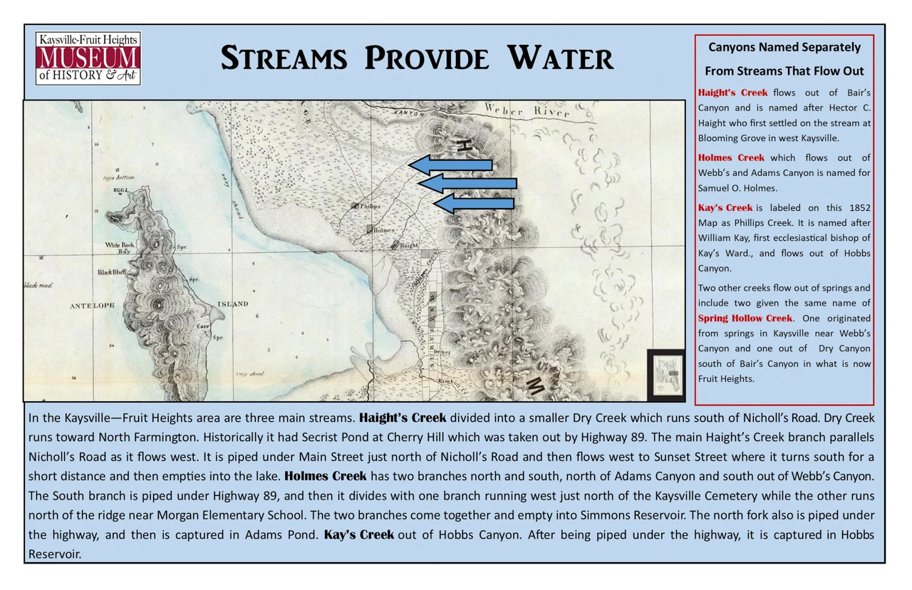
Streams Provide Water
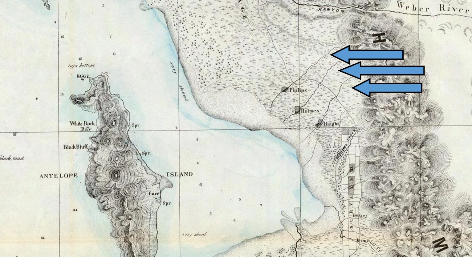
Canyons Named Separately From Streams That Flow Out
Haight’s Creek flows out of Bair’s Canyon and is named after Hector C. Haight who first settled on the stream at Blooming Grove in west Kaysville.
Holmes Creek flows out of Webb’s and Adams Canyon and is named for Samuel O. Holmes.
Kay’s Creek is labeled as Philips Creek on this 1852 map and flows out of Hobbs Canyon. It is named after William Kay, the first ecclesiastical bishop of Kay’s Ward.
Two other creeks flow out of springs and include two given the same name of
Spring Hollow Creek. One originated from springs in Kaysville near Webb’s Canyon and one out from Dry Canyon south of Bair’s Canyon in what is now Fruit Heights.
In the Kaysville—Fruit Heights area are three main streams. Haight’s Creek divided into a smaller Dry Creek which runs south of Nicholl’s Road. Dry Creek runs toward North Farmington. Historically it had Secrist Pond at Cherry Hill which was taken out by Highway 89. The main Haight’s Creek branch parallels Nicholl’s Road as it flows west. It is piped under Main Street just north of Nicholl’s Road and then flows west to Sunset Street where it turns south for a short distance and then empties into the lake. Holmes Creek has two branches north and south, north of Adams Canyon and south out of Webb’s Canyon. The South branch is piped under Highway 89, and then it divides with one branch running west just north of the Kaysville Cemetery while the other runs north of the ridge near Morgan Elementary School. The two branches come together and empty into Simmons Reservoir. The north fork also is piped under the highway, and then is captured in Adams Pond. Kay’s Creek out of Hobbs Canyon. After being piped under the highway, it is captured in Hobbs Reservoir.
Streams Provide Water
Canyons Named Separately From Streams That Flow Out
Haight’s Creek flows out of Bair’s Canyon and is named after Hector C. Haight who first settled on the stream at Blooming Grove in west Kaysville.
Holmes Creek flows out of Webb’s and Adams Canyon and is named for Samuel O. Holmes.
Kay’s Creek is labeled as Philips Creek on this 1852 map and flows out of Hobbs Canyon. It is named after William Kay, the first ecclesiastical bishop of Kay’s Ward.
Two other creeks flow out of springs and include two given the same name of
Spring Hollow Creek. One originated from springs in Kaysville near Webb’s Canyon and one out from Dry Canyon south of Bair’s Canyon in what is now Fruit Heights.

In the Kaysville—Fruit Heights area are three main streams. Haight’s Creek divided into a smaller Dry Creek which runs south of Nicholl’s Road. Dry Creek runs toward North Farmington. Historically it had Secrist Pond at Cherry Hill which was taken out by Highway 89. The main Haight’s Creek branch parallels Nicholl’s Road as it flows west. It is piped under Main Street just north of Nicholl’s Road and then flows west to Sunset Street where it turns south for a short distance and then empties into the lake. Holmes Creek has two branches north and south, north of Adams Canyon and south out of Webb’s Canyon. The South branch is piped under Highway 89, and then it divides with one branch running west just north of the Kaysville Cemetery while the other runs north of the ridge near Morgan Elementary School. The two branches come together and empty into Simmons Reservoir. The north fork also is piped under the highway, and then is captured in Adams Pond. Kay’s Creek out of Hobbs Canyon. After being piped under the highway, it is captured in Hobbs Reservoir.
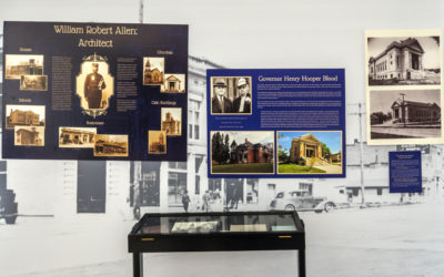
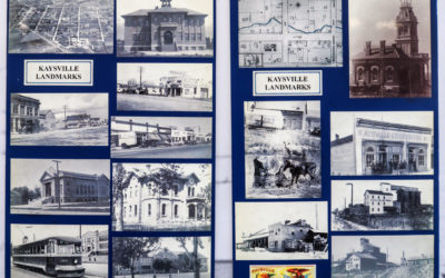
Exhibit Gallery